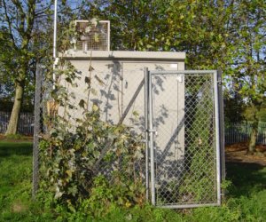
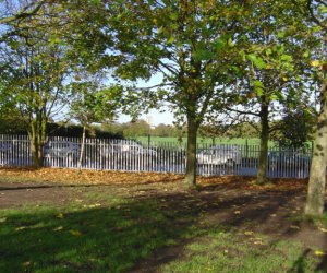
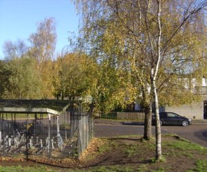
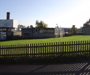
Canterbury

Pollutant Band Concentration Period Last updated
Nitric oxide (NO) Not applicable 2 µgm-3 hourly mean 27/07/2024 10:00
Nitrogen dioxide (NO2) LOW (1) 7 µgm-3 hourly mean 27/07/2024 10:00
Nitrogen oxides as nitrogen dioxide (NOXasNO2) Not applicable 10 µgm-3 hourly mean 27/07/2024 10:00
Ozone (O3) LOW (1) 26 µgm-3 8 Hour mean 27/07/2024 10:00
PM10 particulate matter (Grav Equiv) LOW (1) 11 µgm-3 (FIDAS) 24 Hour mean 27/07/2024 10:00
PM2.5 particulate matter LOW (1) 6 µgm-3 (Ref.eq) 24 Hour mean 27/07/2024 10:00
Information: Move mouse over graph to see dates, times and data labels.
Pollutants shown in graph
Parameter Parameter Name
O3 Ozone
NO Nitric oxide
NO2 Nitrogen dioxide
NOXasNO2 Nitrogen oxides as nitrogen dioxide
PM10 PM10 Particulate Matter
PM2.5 PM2.5 Particulate Matter

Site Information
Altitude 35m
Coordinates (Lat/Long) 51.273990, 1.098061
Environment Type Urban background: An urban location distanced from sources and therefore broadly representative of city-wide background conditions e.g. urban residential areas.
Kerb Distance Not Available
Height Metres
Site Comments Western edge of Chaucer Technology School in suburban area. Open field to the west railway line 63m housing estate 92m nearest road 27m.Affiliated to the Defra Automatic Urban and Rural Network; listed as Canterbury.
Parameter Date Started Date Ended
Ozone 15/03/2011 -
Nitric oxide 01/02/2001 -
Nitrogen dioxide 01/02/2001 -
Nitrogen oxides as nitrogen dioxide 01/02/2001 -
PM10 particulate matter (Grav Equiv) 02/01/2001 -
PM2.5 particulate matter 27/05/2022 -
Canterbury site: Site view
Site
Canterbury site: North view
North
Canterbury site: East view
East
Canterbury site: South view
South
Canterbury site: West view
West