Gravesham A2 Roadside
| Pollutant | Band | Concentration | Period | Last updated |
|---|---|---|---|---|
| Nitric oxide (NO) | Not applicable | 1 µg/m3 | hourly mean | 08/07/2026 18:00 |
| Nitrogen dioxide (NO2) | LOW (1) | 15 µg/m3 | hourly mean | 08/07/2026 18:00 |
| Nitrogen oxides as nitrogen dioxide (NOXasNO2) | Not applicable | 17 µg/m3 | hourly mean | 08/07/2026 18:00 |
| PM10 particulate matter (Grav Equiv) | LOW (1) | 14 µg/m3 (Ref.eq) | 24 Hour mean | 08/07/2026 18:00 |
| Pollutants shown in graph | |
|---|---|
| Parameter | Parameter Name |
| NO | Nitric oxide |
| NO2 | Nitrogen dioxide |
| NOXasNO2 | Nitrogen oxides as nitrogen dioxide |
| SO2 | Sulphur dioxide |
| PM10 | PM10 Particulate Matter |
| DIR | Wind Direction |
| SPED | Wind Speed |
| T | Ambient Temperature |
| Site Information | |
|---|---|
| Altitude | Not Available |
| Coordinates (Lat/Long) | 51.424402, 0.337194 |
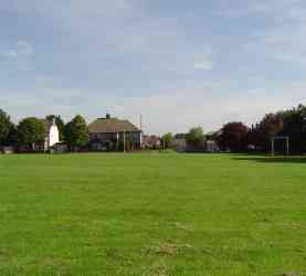
| Environment Type | Roadside: A site sampling between 1m of the kerbside of a busy road and the back of the pavement. Typically this will be within 5m of the road, but could be up to 15m. |
| Kerb Distance | Not Available |
| Height | Metres |
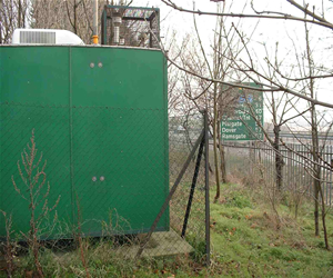
| Site Comments | Painters Ash School Masefield Rd Northfleet |
| Parameter | Date Started | Date Ended |
|---|---|---|
| Nitric oxide | 02/01/1999 | - |
| Nitrogen dioxide | 02/01/1999 | - |
| Nitrogen oxides as nitrogen dioxide | 02/01/1999 | - |
| Sulphur dioxide | 02/01/1999 | 17/07/2002 |
| PM10 particulate matter (Grav Equiv) | 02/01/1999 | - |
| Wind Direction | 02/01/1999 | - |
| Wind Speed | 31/01/1999 | - |
| Ambient Temperature | 02/01/1999 | - |