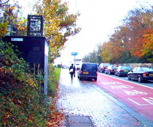
Tunbridge Wells A26 Roadside
| Pollutant | Band | Concentration | Period | Last updated |
|---|---|---|---|---|
| Nitric oxide (NO) | Not applicable | 11 µg/m3 | hourly mean | 18/07/2026 17:00 |
| Nitrogen dioxide (NO2) | LOW (1) | 22 µg/m3 | hourly mean | 18/07/2026 17:00 |
| Nitrogen oxides as nitrogen dioxide (NOXasNO2) | Not applicable | 39 µg/m3 | hourly mean | 18/07/2026 17:00 |
| PM10 particulate matter (Grav Equiv) | LOW (2) | 25 µg/m3 (INDIC GRAV) | 24 Hour mean | 18/07/2026 17:00 |
| PM2.5 particulate matter | LOW (1) | 9 µg/m3 (BAM) | 24 Hour mean | 18/07/2026 17:00 |
| Pollutants shown in graph | |
|---|---|
| Parameter | Parameter Name |
| NO | Nitric oxide |
| NO2 | Nitrogen dioxide |
| NOXasNO2 | Nitrogen oxides as nitrogen dioxide |
| PM10 | PM10 Particulate Matter |
| PM2.5 | PM2.5 Particulate Matter |
| T | Ambient Temperature |
| PRES | Barometric pressure |
| Site Information | |
|---|---|
| Altitude | Not Available |
| Coordinates (Lat/Long) | 51.151783, 0.261400 |
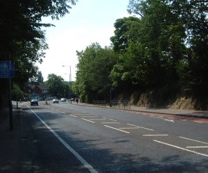
| Environment Type | Roadside: A site sampling between 1m of the kerbside of a busy road and the back of the pavement. Typically this will be within 5m of the road, but could be up to 15m. |
| Kerb Distance | Not Available |
| Height | Metres |
| Site Comments | St Johns Road Tunbridge Wells |
| Parameter | Date Started | Date Ended |
|---|---|---|
| Nitric oxide | 21/06/2005 | - |
| Nitrogen dioxide | 20/06/2005 | - |
| Nitrogen oxides as nitrogen dioxide | 20/06/2005 | - |
| PM10 particulate matter (Grav Equiv) | 21/06/2005 | - |
| PM2.5 particulate matter | 26/05/2022 | - |
| Ambient Temperature | 20/06/2005 | - |
| Barometric pressure | 20/06/2005 | - |